


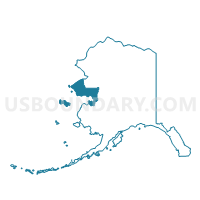
Golovin Precinct, Nome Census Area, Alaska
About
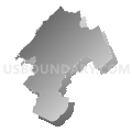
Outline

Summary
| Unique Area Identifier | 523475 |
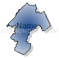
| Name | Golovin Precinct |
| County | Nome Census Area |
| State | Alaska |
| Area (square miles) | 1,533.59 |
| Land Area (square miles) | 1,292.28 |
| Water Area (square miles) | 241.31 |
| % of Land Area | 84.26 |
| % of Water Area | 15.74 |
| Latitude of the Internal Point | 64.83238640 |
| Longtitude of the Internal Point | -162.51400850 |
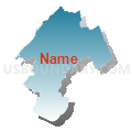
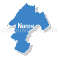
Maps


Graphs
Select a template below for downloading or customizing gragh for Golovin Precinct, Nome Census Area, Alaska


Neighbors
Neighoring Voting District (by Name) Neighboring Voting District on the Map
- Elim Precinct, Nome Census Area, AK
- Koyuk Precinct, Nome Census Area, AK
- White Mountain Precinct, Nome Census Area, AK